Photo: Egerer
Zur deutschsprachigen Version dieses Artikels
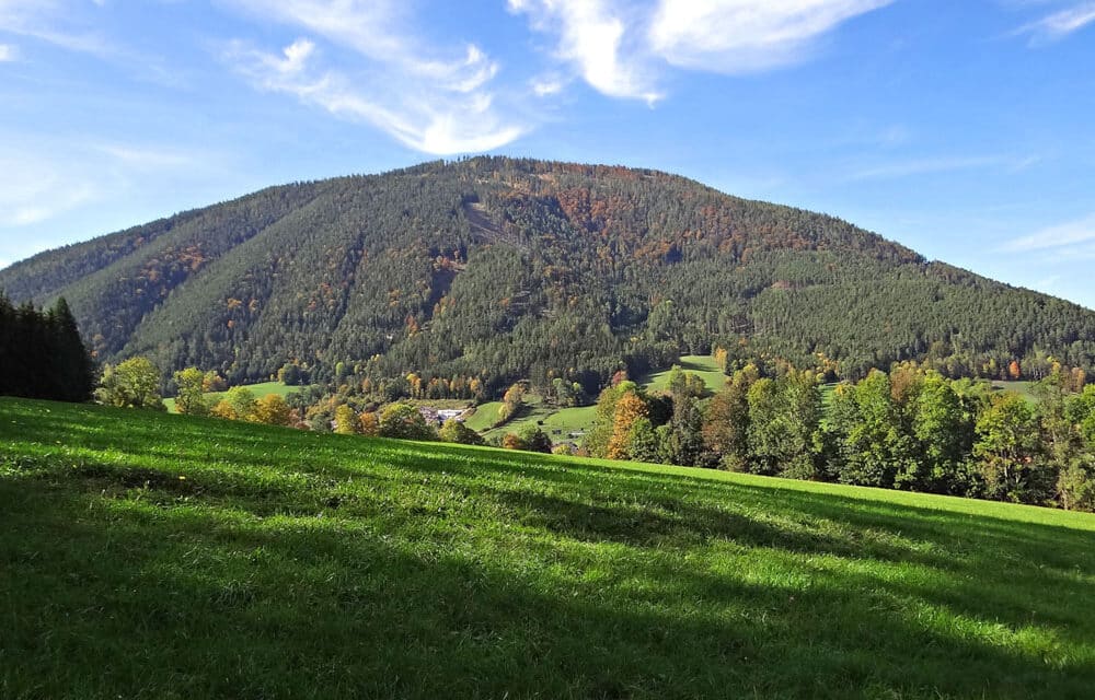
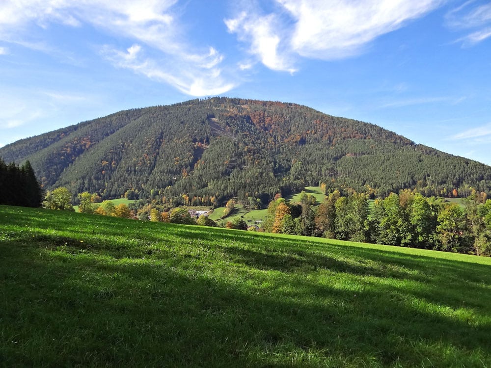
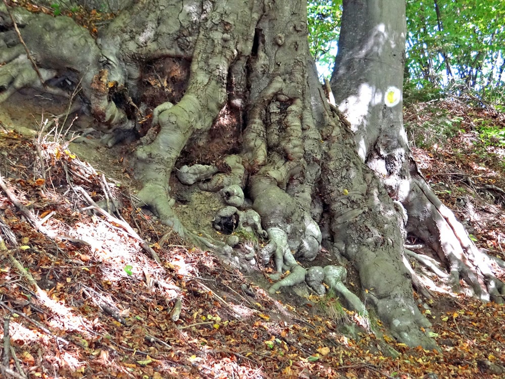
Today we are going in for a nice, family-friendly autumn hike above the Feistritztal municipality Otterthal. Numerous “Marterl” and the “Engagement Path” as well as panoramic views onto the mountains as Otter and Rax included.
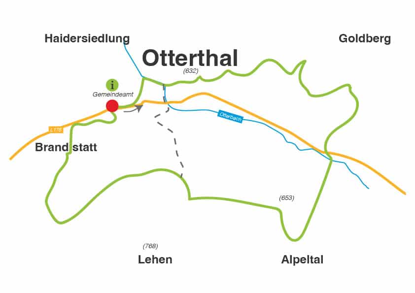
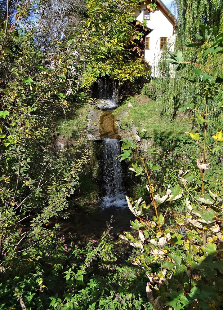
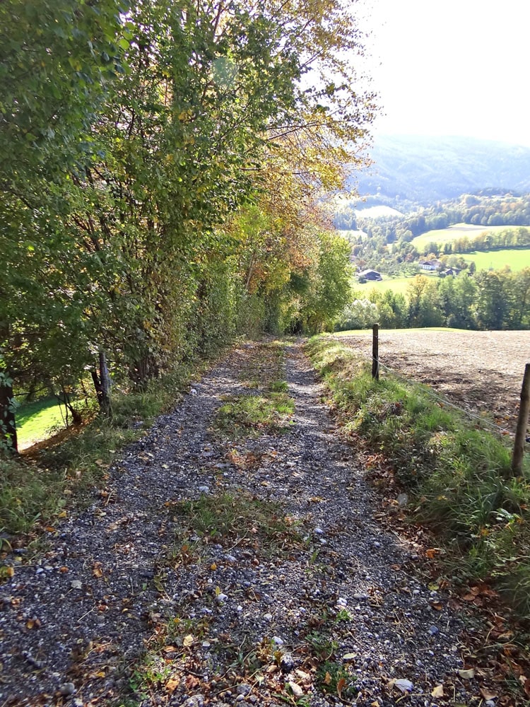
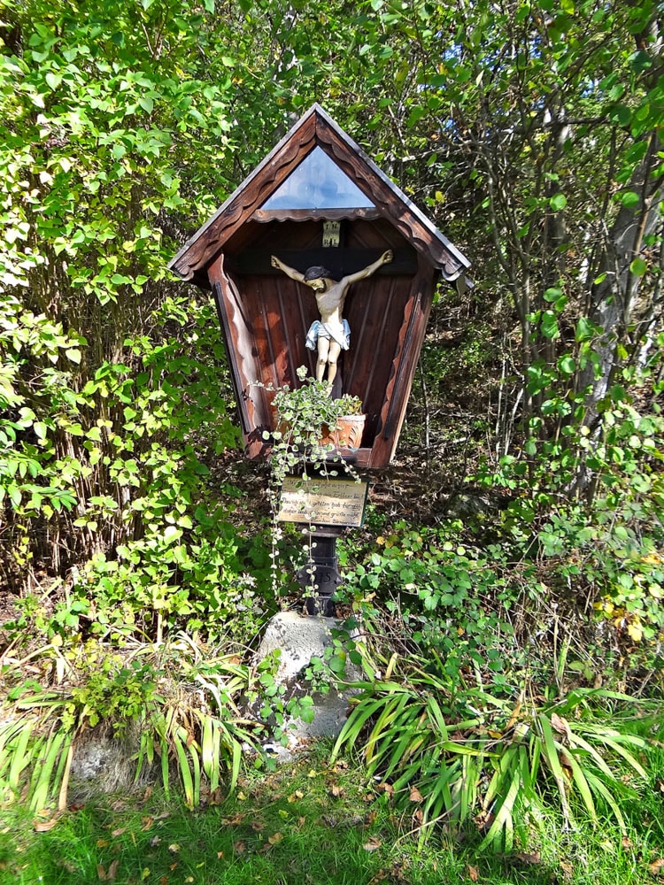
We start at Schnitzelwirt Schabauer next to the community center. First, we walk along the sidewalk up to the crossroads. Here, we traverse the road and follow the walking path direction Gloggnitz. Before the sharp left turn, a small asphalt road branches off – we follow it until we reach Goldbergstrasse. Now, we walk uphill and pass a “Marterl” (=wayside cross). At the first sharp right turn, we leave the asphalt road and continue straight on a forest trail. This trail leads intensively uphill until we arrive at a left turn. Here, the forest trail splits; we turn right and notice a first marking – a yellow and white circle on a tree. This is the Panorama Loop Trail Otterthal ! We follow the route until we reach an asphalt road and a farmstead. Attention: we continue to the left (not downhill on the street). Only in front of the next farmstead, we turn sharp right and downhill onto a tractor path. This path is offering us beautiful autumn impressions and views over the valley; from here, we eventually get to the main street; we traverse it and hike into the Alpltal.
Up and down
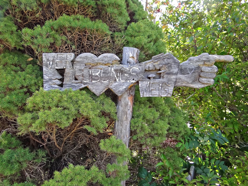
We now cover a distance of about 300 meters on the asphalt road and pass the first settlement until we arrive at a farm. Behind the house, we turn right into a country lane. Again, we have to cover an ascending slope until we reach a fork, on top, underneath the high-voltage line. We chose the gravel path leading us downhill. Soon, we reach another farmstead in the local center Lehen. Right behind, we discover the plate that leads us to “Verlobungsweg” (Engagement Path). Here, we have the opportunity to shorten the tour as to the right a narrow road and a country lane are leading us downhill; we then soon notice a green marking on a tree. From the meadow hill climbing, we enjoy a splendid view of the colorful autumn leaves in the woods on Otter Mountain. Finally, we reach Otterthal. Before crossing the bridge, we turn left into the cycling path and quickly get back to our starting point.
Longer variant
Who is willing to hike longer than one and a half hours follows the Verlobungsweg, i.e. the asphalt road up to a left turn. Here, we turn right and take a short cut. This path soon ends in the street direction Lehen. Inside the village, we hike along the cycling path to the right back to our starting point. One should calculate two hours for the longer route. Altogether, it is a comfortable tour, also suitable for children aged six years or older, offering nice views, especially now as autumn is coloring the leaves impressively.
Info
Dolores Marie Schärf unterrichtet Englisch, Französisch, Spanisch sowie Italienisch und ist als Dolmetscherin bzw. Übersetzerin tätig.

Tip from the Mountain Security Service
Dear leisure time sportsmen and sportswomen,
Of course, the beautiful autumn days are inviting us to go hiking. The fog often stays in the valleys; and in the mountains, we are able to enjoy autumn and all its wonderful colors. Yet, even if the weather is not perfect, moving and physical exercise are always a good idea. Especially in our region, we have to anticipate rain and even snow. Allowing the weather to keep us from open-air activities would be a shame. According to the principle: “There is no bad weather, there only is bad equipment / garment.”
It is particularly important to dress appropriately when it is raining. Take advice from your sporting goods expert and let him/her give you tips about which equipment you really need. I am looking forward to a nice encounter in our beautiful region.
Erwin Jung
Photo: Mountain Security Service
Photos: Egerer